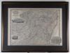
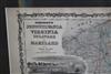
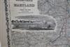
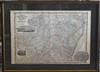
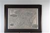
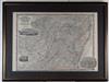
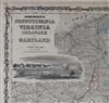
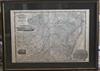
JOHNSON'S MAP OF PENNSYLVANIA VIRGINIA DELAWARE AND MARYLAND (CIRCA 1863). Map of the Middle Atlantic states, including Pennsylvania, Virginia, West Virginia, Delaware and Maryland; it was published by American mapmaker A. J. Johnson (ie, Alvin Jewett Johnson, 1827-1884). Map depicts a partitioned Virginia and it includes three woodcut vignettes: the University of Virginia, Richmond, and Fort Monroe. Undated. Framed. Not examined out of frame.