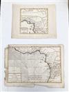
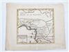
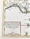
A PAIR OF 18TH CENTURY WEST AFRICAN MAPS. (1) A map of pre-colonial Western Africa that includes the Kingdoms of Benin, Gabou, Medra, du Mujac, Miroco, Loango, Juida, d'Arde, Ulcuma, Jabou, Oudoubo, and Isago. Map is titled "Partie Orientale de la Haute Guinée" and it was originally issued in Robert de Vaugondy's (French, 1688-1766) "Atlas Portatif Unviversel et Militaire." (published in 1749, Paris).
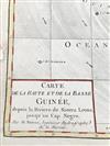
(2) Map of Western Africa, Coast from Sierra Leone, Liberia, Cote D' Ivorie, Ghana, Togo Benin, Nigeria, Cameroon. Engraved and hand-colored map titled "Carte De La Haute et De La Basse Guinee, depuis la Riviere de Sierra Leona, jusqu'au Cap Negro" published by bookseller and engraver Jean Lattré (French, 1743-1793) in Paris in 1787 and by cartographer Rigobert Bonne (French, 1727-1794). Image 8.5" x 12.75"; sheet 10" x 15.25". Unframed. Estimate $250-350