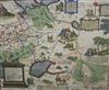
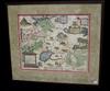
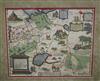
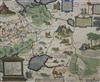
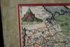
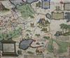
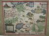
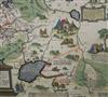
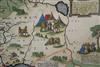
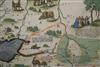
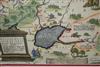
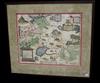
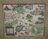
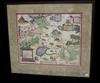
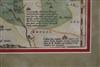
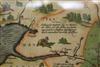
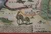
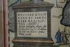
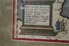
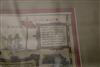
MAP "RUSSIAE MOSCOVIAE ET TARTARIAE DESCRIPTIO" (DESCRIPTION OF RUSSIA, MUSCOVY, AND TARTARY). Early 17th century hand-colored map depicts a large portion of Eastern Europe and Central Asia. The Caspian Sea ("MARE CASPIUM") at the bottom center. The Crimean Peninsula ("CRIMEA") is visible to the west of the sea. Publisher/Cartographer: The inscription within the cartouche mentions "Lundini apud G. Humble ad intersigne vulgare" and "Walae," which indicates it was published in London by George Humble, and it is a version of a map by the Dutch cartographer Hessel Gerritsz. Framed. Not examined out of frame. - Sight: 17.5 x 14 inches; frame: 21 x 24 inches. Estimate $400-600