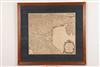
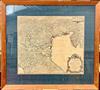
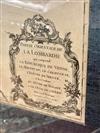
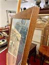
FRAMED CIRCA 1750 HANDCOLORED MAP OF ITALY: PARTIE ORIENTALE DE LOMBARDIE, VAUGONDY DIDIER ROBERT,Circa 1750. Handcolored, of the period, Vaugondy Didier Robert map, which depicts the Eastern part of Lombardy, Italy, which includes the Republic of Venice, the Manouan & Cremonese. Framed in wooden moulding with green mat. Sight size: 18 3/4" high x 21 3/8" wide. - Framed dimensions: 28 1/8" high x 31" wide. Estimate $75-125
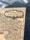
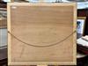
Not examined out of frame, backed with solid panel. The map does not appear to be laid down. Crease to the center of the sheet associated with having been bound. Some toning. No visible tears or repairs. The framing in good condition. Minor wear to frame. Glass is intact.