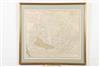
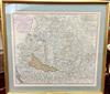
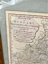
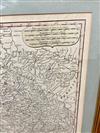
MAP OF THE KINGDOM OF HUNGARY. 1794 colored map titled: "Kingdom of Hungary, Principality of Transilvania, Sclavonia, Croatia, with a Part of Valakla, Bulgaria, Bosnia and Servia from the Latest Surveys ascertained by Astronomical Observations." Published by Laurie and Whittle in London. Framed. Not examined out of frame. - 19 x 21.5 in / frame:. 24 x 26 in. Estimate $125-175