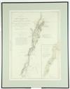
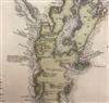
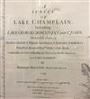
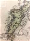
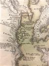
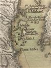
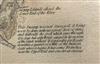
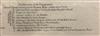
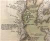
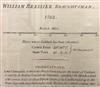
IMPORTANT 18TH C. REVOLUTIONARY WAR PERIOD MAP: SURVEY OF LAKE CHAMPLAIN, 1776,SURVEY OF LAKE CHAMPLAIN INCLUDING LAKE GEORGE , CROWN POINT, AND ST. JOHN. SURVEYED, BY ORDER OF HIS EXCELLENCY MAJOR-GENERAL SR. JEFFERY AMHERST. Based upon William Brassier's survey of the region during the French & Indian War. This edition of the map illustrates America's first naval battle, the Battle of Valcour Island on October 11, 1776, during which General Benedict Arnold attacked the British and while forced back to the south, was able to delay the British attempt to descend to the Hudson River for that year. The map shows the engagement of the British and American Fleets off of Valcour Island itself, as well as their movements down the river, and a second engagement off Crown Point on October 13, 1776, with lettered references. - 26.5" X 20"; Frame: 33" X 26". Estimate $2,500-3,500